The Nigerian Postal Service has set out to improve the underpinnings of its zip code system.
The country’s current zip code was developed by the service’s own geographers, using traditional maps. Now, it has teamed up with Nigeria’s National Space Research and Development Agency (NASRDA), to harness advances in geographic information systems (GIS) and develop a new zip code system and infrastructure.
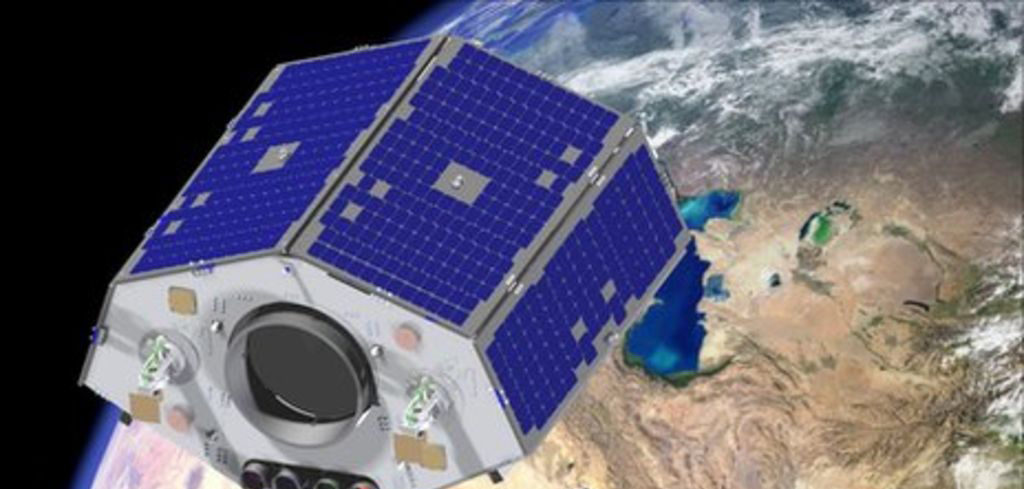
The postal service will be able to access up-to-date, satellite imagery at high resolution, with NASRDA providing facilitators and professional advice that will assist the service in the development of zip code and addressing data sets, as well as geospatial data sets using Nigeria Sat-1, Nigeria Sat-2, Nigeria Sat-x imageries and customized software.
Other areas of collaboration include supporting the Nigerian Postal Service in increasing its capacity through transfer of knowledge on IT-based application of remote sensory GIS.


